List of Districts in Bihar, Population, By Area, Divisions
Share
List of Districts in Bihar: Bihar, a state in eastern India, is known for its rich cultural heritage, historical significance, and rapidly developing infrastructure. Understanding the administrative structure of Bihar is crucial to appreciating its governance and regional diversity. This blog explores the districts of Bihar, their administrative divisions, size, population, and importance. We will also look at the largest and smallest districts, recent developments, and the geographical, economic, and cultural significance of these districts.
List of Districts in Bihar
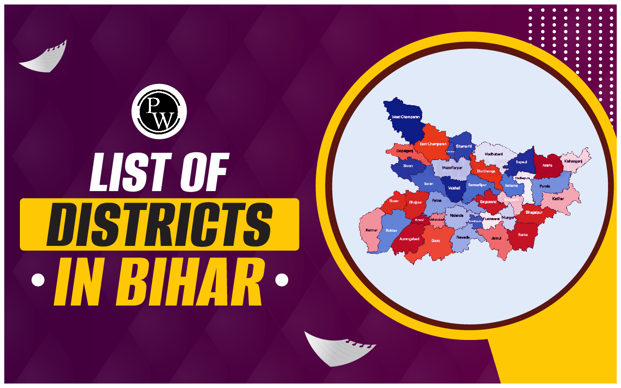
Bihar's 38 districts, each with its distinct identity and importance, collectively contribute to the state's rich tapestry. From the bustling streets of Patna to the serene landscapes of West Champaran, each district has its own story to tell. The recent developments in infrastructure and services highlight the state’s progress and potential. Understanding these districts helps appreciate Bihar's role in India's history, economy, and culture.
How Many Districts in Bihar
As of the latest administrative division, Bihar is divided into 38 districts. These districts are grouped into nine administrative divisions: Patna, Tirhut, Saran, Darbhanga, Kosi, Purnia, Bhagalpur, Munger, and Magadh. Each district is further subdivided into blocks and villages, making the administrative process more manageable and systematic.
List of Districts in Bihar By Their Size and Population
Bihar’s districts vary significantly in terms of size and population. Here is a glimpse of some districts based on these criteria:| List of Districts in Bihar By Their Size and Population | |||
| S.NO. | Districts | Area Covered | Population |
| 1 | Araria | 2,829 | 2,811,569 |
| 2 | Arwal | 637 | 699,000 |
| 3 | Aurangabad | 3,303 | 2,540,073 |
| 4 | Banka | 3,018 | 2,034,763 |
| 5 | Begusarai | 1,917 | 2,970,541 |
| 6 | Bhagalpur | 2,569 | 3,037,766 |
| 7 | Bhojpur | 2,473 | 2,728,407 |
| 8 | Buxar | 1,624 | 1,706,352 |
| 9 | Darbhanga | 2,278 | 3,937,385 |
| 10 | East Champaran | 3,969 | 5,099,371 |
| 11 | Gaya | 4,978 | 4,391,418 |
| 12 | Gopalganj | 2,033 | 2,562,012 |
| 13 | Jamui | 3,099 | 1,760,405 |
| 14 | Jehanabad | 1,569 | 1,125,313 |
| 15 | Khagaria | 1,486 | 1,666,886 |
| 16 | Kishanganj | 1,884 | 1,690,400 |
| 17 | Kaimur | 3,363 | 1,626,384 |
| 18 | Katihar | 3,056 | 3,071,029 |
| 19 | Lakhisarai | 1,229 | 1,000,912 |
| 20 | Madhubani | 3,501 | 4,487,379 |
| 21 | Munger | 1,419 | 1,367,765 |
| 22 | Madhepura | 1,787 | 2,001,762 |
| 23 | Muzaffarpur | 3,173 | 4,801,062 |
| 24 | Nalanda | 2,354 | 2,877,653 |
| 25 | Nawada | 2,492 | 2,219,146 |
| 26 | Patna | 3,202 | 5,838,465 |
| 27 | Purnia | 3,228 | 3,264,619 |
| 28 | Rohtas | 3,850 | 2,959,918 |
| 29 | Saharsa | 1,702 | 1,900,661 |
| 30 | Samastipur | 2,905 | 4,261,566 |
| 31 | Sheohar | 443 | 656,916 |
| 32 | Sheikhpura | 689 | 634,927 |
| 33 | Saran | 2,641 | 3,951,862 |
| 34 | Sitamarhi | 2,199 | 3,423,574 |
| 35 | Supaul | 2,410 | 2,229,076 |
| 36 | Siwan | 2,219 | 3,330,464 |
| 37 | Vaishali | 2,036 | 3,495,021 |
| 38 | West Champaran | 5,229 | 3,935,042 |
Districts of Bihar - Administrative Divisions
The nine administrative divisions of Bihar serve as the primary subdivisions, each encompassing several districts:| Districts of Bihar - Administrative Divisions | |
| Division | Bihar Districts |
| Patna | Bhojpur, Buxar, Kaimur, Patna, Rohtas, Nalanda |
| Saran | Saran, Siwan , Gopalganj |
| Tirhut | East Champaran, Muzaffarpur, Sheohar, Sitamarhi, Vaishali, West Champaran |
| Purnia | Araria, Katihar, Kishanganj, Purnia |
| Bhagalpur | Banka, Bhagalpur |
| Darbhanga | Darbhanga, Madhubani, Samastipur |
| Kosi | Madhepura, Saharsa, Supaul |
| Magadh | Arwal, Aurangabad, Gaya, Jehanabad, Nawada |
| Munger | Begusarai,Jamui, Khagaria, Munger, Lakhisarai, Sheikhpura |
Largest District of Bihar
The largest district in Bihar by area is West Champaran , covering approximately 5,228 square kilometers. This district is known for its agricultural productivity and historical significance, being associated with Mahatma Gandhi's Champaran Satyagraha.Smallest District in Bihar
The smallest district in Bihar is Sheikhpura , with an area of around 689 square kilometers. Despite its size, Sheikhpura plays an important role in the state's economy through agriculture and small-scale industries.List of Districts in Bihar and Their Importance
Bihar's 38 districts are not just administrative units but repositories of rich cultural heritage, economic vigor, and geographical significance. Delve into the List of Districts in Bihar and uncover their importance in shaping the identity and trajectory of this historically significant state.| List of Districts in Bihar and Their Importance | |
| District | Importance |
|---|---|
| Patna | Capital city; political, administrative, and cultural center |
| Gaya | Religious significance for Buddhists and Hindus |
| Bhagalpur | Historical trade and commerce center; known for silk production |
| Muzaffarpur | "Land of Litchis"; famous for litchi cultivation and trade |
| Darbhanga | Rich cultural heritage; known for music, literature, and Mithila painting |
| Munger | Historical center for education, trade, and arms production |
| Nalanda | Ancient Nalanda University; renowned center for learning in ancient India |
| Madhubani | Internationally acclaimed for Madhu Bani paintings; traditional art form |
| Sitamarhi | Birthplace of Sita, central figure in the Hindu epic Ramayana |
| Siwan | Agricultural productivity; center for trade and commerce |
| Vaishali | Birthplace of Lord Mahavira, 24th Jain Tirthankara |
| Katihar | Strategic transportation hub; known for agricultural produce |
| Purnia | Agricultural trade center; known for cereals and spices |
| Rohtas | Historical Rohtas Fort; built by Sher Shah Suri; scenic beauty |
| Samastipur | Agricultural productivity; known for rice cultivation |
Recent Development in Districts of Bihar
Bihar has witnessed significant development across its districts in recent years, transforming its infrastructure, education, and healthcare sectors. This progress is evident in the construction of new roads and bridges, the establishment of educational institutions, and the upgrading of healthcare facilities. These advancements not only enhance the quality of life for residents but also drive economic growth and attract investment to the state. This section delves into the recent developments that are shaping the future of Bihar's districts.
| Recent Development in Districts of Bihar | |
| District | Project/Initiative |
| Patna |
|
| Bhagalpur |
|
| Darbhanga |
|
| Nalanda |
|
| Aurangabad |
|
| Champaran |
|
| Other Districts |
|
Geographical, Economic, and Cultural Importance of the Districts in Bihar
The districts of Bihar encapsulate a vibrant tapestry of geographical, economic, and cultural significance. From the fertile plains of Patna to the historical richness of Gaya, each district contributes uniquely to Bihar's identity. Let's delve deeper into the multifaceted Geographical, Economic, and Cultural Importance of the Districts in Bihar.
| Geographical, Economic, and Cultural Importance of the Districts in Bihar | |||
| District | Geographical Location | Economic Importance | Cultural Significance |
| Araria | Northern Bihar, close to Nepal border | Agriculture, rice cultivation | Rich folk traditions, Bhojpuri and Maithili culture |
| Arwal | Central Bihar | Agriculture, wheat, maize | Vibrant rural culture, local festivals |
| Aurangabad | Central Bihar, Magadh region | Agriculture, small-scale industries | Historical significance, association with Magadh Empire |
| Banka | Southeastern Bihar, bordering Jharkhand | Agriculture, rice, maize, fruits | Rich tribal culture, Karma and Sarhul festivals |
| Begusarai | Northern Bihar, Gangetic plains | Industrial hub, oil refineries, fertilizer plants | Bhojpuri culture, folk music and dance forms |
| Bhagalpur | Eastern Bihar, on the banks of the Ganges | Silk production, jute mills, agriculture | Silk industry, historical sites like Vikramshila University |
| Bhojpur (Ara) | Central Bihar, Bhojpur region | Agriculture, rice, wheat, sugarcane | Revolutionary history, birthplace of freedom fighters |
| Buxar | Western Bihar, bordering Uttar Pradesh | Agriculture, rice, wheat, lentils | Battle of Buxar, Maurya Empire association |
| Darbhanga | Northern Bihar, Mithila region | Agriculture, rice, maize, pulses | Mithila art, traditions, music, and dance forms |
| East Champaran | Eastern Bihar, along Indo-Nepal border | Agriculture, sugarcane, paddy, wheat | Champaran Satyagraha, Mahatma Gandhi's movement |
| Gaya | Central Bihar, Magadh region | Agriculture, pilgrimage tourism | Ancient Buddhist sites, Mahabodhi Temple |
| Gopalganj | Western Bihar, close to Uttar Pradesh border | Agriculture, rice, wheat, sugarcane | Bhojpuri culture, folk songs and dances |
| Jamui | Southeastern Bihar, Chhotanagpur Plateau | Agriculture, maize, wheat, pulses | Tribal culture, Karma and Sarhul festivals |
| Jehanabad | Central Bihar, Magadh region | Agriculture, rice, wheat, maize | Historical sites, Barabar Caves |
| Kaimur (Bhabua) | Western Bihar, bordering Uttar Pradesh | Agriculture, rice, wheat, lentils | Diverse tribal culture, local festivals |
| Katihar | Northeastern Bihar, close to West Bengal border | Agriculture, rice, jute, sugarcane | Bengali influence, folk music and dance forms |
| Khagaria | Northeastern Bihar, Gangetic plains | Agriculture, rice, wheat, maize | Folk traditions, festivals |
| Kishanganj | Northeastern Bihar, bordering West Bengal | Agriculture, rice, maize, jute | Bengali and Assamese cultural influence |
| Lakhisarai | Southeastern Bihar, Magadh region | Agriculture, rice, wheat, pulses | Historical significance, Champa city |
| Madhepura | Northeastern Bihar, Kosi region | Agriculture, rice, maize, pulses | Folk traditions, festivals |
| Madhubani | Northern Bihar, Mithila region | Agriculture, rice, maize, pulses | Madhubani painting, folk traditions |
| Munger | Eastern Bihar, on the banks of the Ganges | Industries, gun manufacturing, paper mills | Historical landmarks, Munger Fort |
| Muzaffarpur | Central Bihar, Tirhut region | Agriculture, sugarcane, litchi, mango | Litchi orchards, cultural festivals |
| Nalanda | Central Bihar, Magadh region | Agriculture, rice, wheat, pulses | Nalanda University, ancient center of learning |
| Nawada | Central Bihar, Magadh region | Agriculture, rice, wheat, maize | Historical sites, Rajgir and Pawapuri |
| Patna | Central Bihar, along the banks of the Ganges | Diverse economy, agriculture, industry, services | Cultural hub, historical sites, festivals |
| Purnia | Northeastern Bihar, close to West Bengal border | Agriculture, rice, maize, jute | Folk traditions, music, and dance forms |
| Rohtas | Western Bihar, bordering Uttar Pradesh | Agriculture, rice, wheat, pulses | Historical significance, Rohtas Fort |
| Saharsa | Northeastern Bihar, Kosi region | Agriculture, rice, maize, sugarcane | Folk traditions, music, and dance forms |
| Samastipur | Northern Bihar, Tirhut region | Agriculture, rice, wheat, sugarcane | Cultural heritage, ancient temples, festivals |
| Saran (Chapra) | Western Bihar, along the banks of the Ganges | Agriculture, rice, wheat, sugarcane | Historical sites, freedom fighters' association |
| Sheikhpura | Southeastern Bihar, Magadh region | Agriculture, rice, wheat, pulses | Historical significance, Naulakha Garh |
| Sheohar | Northern Bihar, Tirhut region | Agriculture, rice, wheat, pulses | Folk traditions, music, and dance forms |
| Sitamarhi | Northern Bihar, Mithila region | Agriculture, rice, maize, pulses | Association with Sita, Ramayana character |
| Siwan | Western Bihar, close to Uttar Pradesh border | Agriculture, rice, wheat, sugarcane | Cultural heritage, ancient temples, folk traditions |
| Supaul | Northeastern Bihar, Kosi region | Agriculture, rice, maize, pulses | Folk traditions, music, and dance forms |
| Vaishali (Hajipur) | Central Bihar, Tirhut region | Agriculture, rice, wheat, sugarcane | Birthplace of Lord Mahavira, ancient city of Vaishali |
| West Champaran | Western Bihar, along Nepal border | Agriculture, rice, wheat, sugarcane | Champaran Satyagraha, cultural diversity |
List of Districts in Bihar FAQs
Q.1 What is the 38 district name in Bihar?
Q.2 How many districts are in the Bihar 2024 list?
Q.3 How many districts are there in Bihar?
Q.4 What are the 7 divisions of Bihar?
Q.5 Which is the smallest district of Bihar?