








Top 3 Videos On Plains: Geography For SSC Preparation By PW

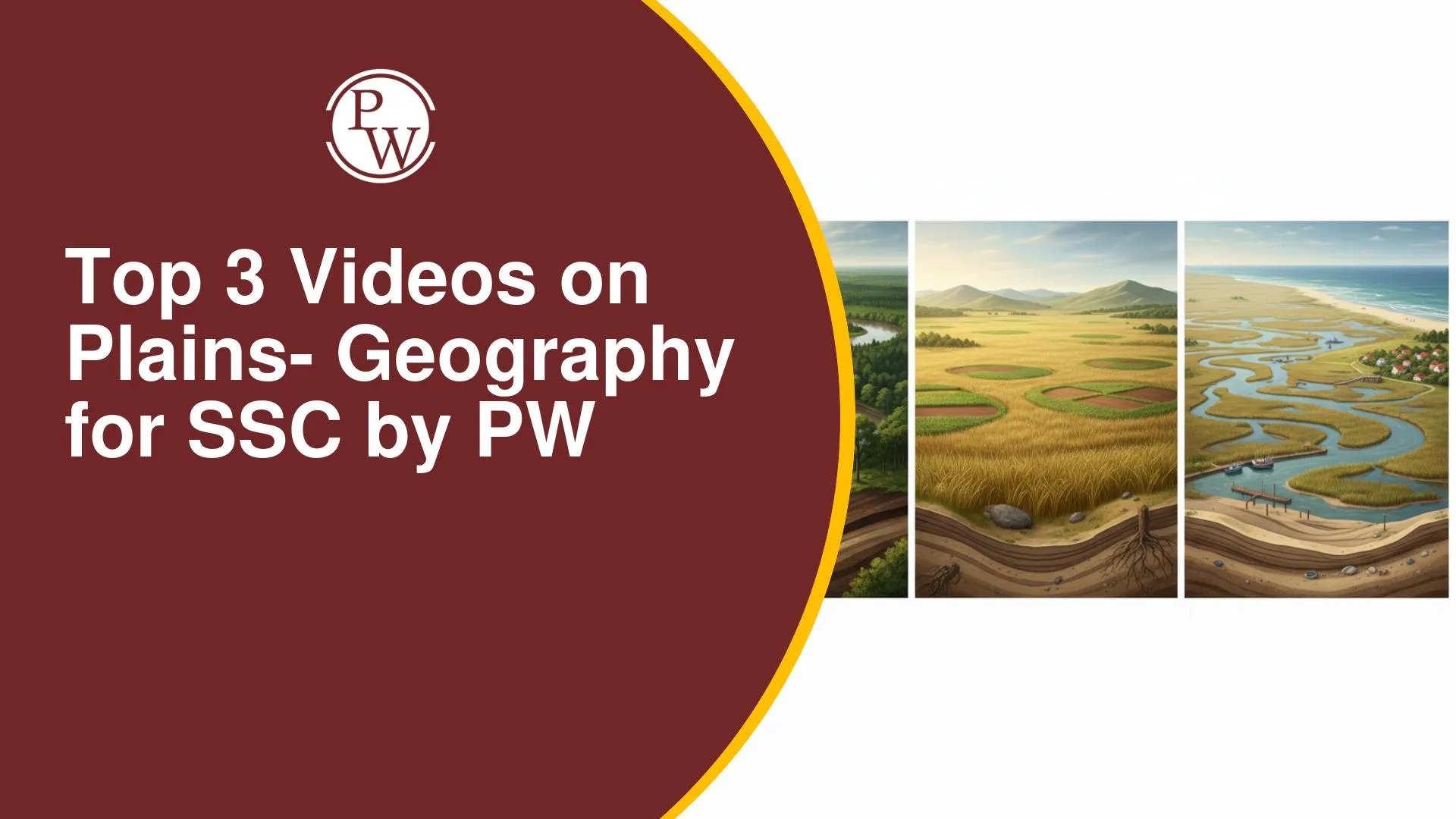
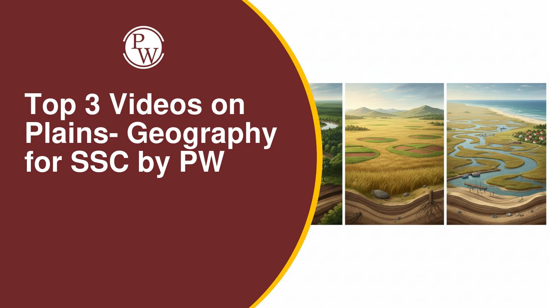
Plains can be challenging because students must connect river deposition, regional divisions, soil types, hills, and maps. Similar terms such as Bhabar, Terai, Bhangar, and Khadar may cause confusion. Long factual lists, location-based questions, and quick revision can also affect accuracy during SSC exams.
Physics Wallah videos explain Plains through maps, simple links between rivers and landforms, and organised topic-wise notes. You can revise regional features, compare important terms, and practise exam-style questions. This approach supports clearer understanding, better recall, fewer factual errors, and more efficient SSC preparation.
Video 1: Strengthen Map-Based Recall With Northeastern Plains Geography
This video covers the Purvanchal Himalaya and northeastern states, including the Seven Sisters and Sikkim. It uses maps to explain the locations and capitals of these states, along with the Patkai, Naga, Mizo, Garo, Khasi, and Jaintia Hills. You will also learn about the Brahmaputra River, major national parks, islands, tribes, and important rivers through simple explanations, charts, and notes. The video also covers matching and location-based questions asked in SSC exams.
This video is useful for students who want to revise northeastern India's geographical features and locations. The maps and organised notes make it easier to remember important details and prepare for SSC Geography questions.
Video 2: Learn India’s Plains Through Full Concept And Question Practice
This video explains how Himalayan rivers carry and deposit sediments to form India's Northern Plains. It covers the Indus, Ganga, and Brahmaputra rivers and their tributaries. You will also learn about the Punjab-Haryana, Rajasthan, and Ganga plains, along with doabs, crops, the Aravalli Range, Thar Desert, Luni River, and Banas River. Important features such as Bhabar, Terai, Bhangar, Khadar, and alluvial soil are explained with the help of maps, notes, examples, and multiple-choice questions.
This video is helpful for students who want to understand the Plains topic from the basics or revise it for SSC Geography. The simple explanations and question practice help you understand important concepts, remember key differences, and prepare better for SSC exams.
Video 3: Revise Northern Plains Landforms With Simple Visual Explanation
In this video, the faculty presents the Northern Plains through the role of Himalayan rivers, which carry rocks, boulders, and soil before depositing them across lowlands. The video explains the plain’s broad spread, its major river regions, and the sequence of Bhabar, Terai, Bhangar, and Khadar. Differences between coarse deposits, wet forest belts, old alluvium, and new alluvium are shown with maps and simple examples.
This video suits students seeking a quick visual recap before mock tests or the SSC exam. The clear comparisons improve concept recall and help you distinguish closely related landform and soil features.
Together, these three videos cover important topics related to Plains, including maps, river systems, landforms, regional divisions, and soil types. They explain these concepts in a simple way and help you understand how different physical features are connected. You can use these lessons to learn new topics and clear any doubts during your SSC Geography preparation.
You can also revisit these videos for topic-wise revision before mock tests and the SSC examination. Regular revision and question practice can help you remember important facts, avoid confusion between similar terms, and answer Geography questions with better accuracy and confidence.


Have questions about your prep?
Our experts can answer all your questions








 Live & recorded classes available at easeDashboard for progress trackingLakhs of practice questions