Chota Nagpur Plateau: Location, Formation, Minerals, Rivers and Economic Importance

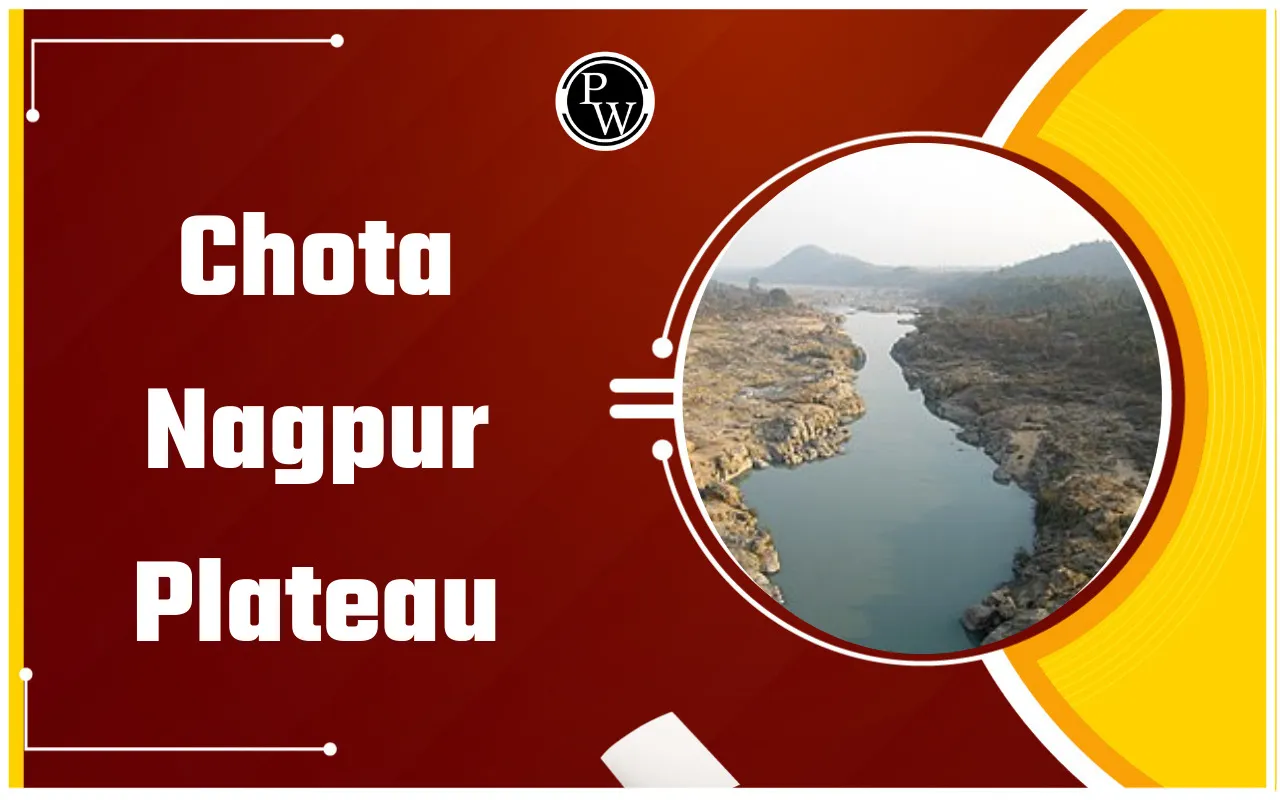
Chota Nagpur Plateau is one of the most important physical regions of eastern India. It is widely known for ancient geological structure, rich mineral deposits, forest resources and strong industrial growth. Geography students often study this region to understand how natural resources influence economic development.
This plateau is not only significant for mining and industry. It also supports agriculture, river systems, biodiversity and traditional tribal communities. Understanding the Chota Nagpur plateau geography notes helps learners connect physical features with social and economic life in India.
Chotanagpur Plateau Location and Extent
Chotanagpur plateau location lies primarily in eastern India. The plateau is mainly situated in Jharkhand but extends into Odisha, West Bengal, Bihar and Chhattisgarh.
When studying the Chota Nagpur plateau map, the region appears between the Indo Gangetic plains in the north and the Mahanadi basin in the south. The total Chota Nagpur plateau extent is about 65,000 square kilometres. The average elevation is nearly 700 metres above sea level. The highest peak is Parasnath Hill.
The plateau consists of smaller plateaus such as Ranchi Plateau and Hazaribagh Plateau, giving it a stepped landscape.
Also Read: List of Mountain Ranges in India
Chota Nagpur Plateau Geology and Formation
The Chota Nagpur plateau geology belongs to very ancient geological periods. The region is made of Precambrian rocks like granite and gneiss. These rocks are among the oldest known formations on Earth.
The Chota Nagpur plateau formation is linked to tectonic uplift and long periods of erosion. Over millions of years, weathering processes shaped the present landscape. The plateau has three elevation zones. The western part is the highest, the central region has moderate height, and the eastern portion is relatively lower.
Continuous erosion by rivers created valleys and isolated hills. This long geological evolution explains the rich mineral composition of the plateau.
Rivers of Chota Nagpur Plateau
Several important rivers originate from this plateau, supplying water for agriculture, settlements, and industries. Major rivers include:
-
Damodar River
-
Subarnarekha River
-
Koel River
-
Barakar River
-
Brahmani River
-
North Koel River
The Damodar Valley is particularly significant for hydroelectric power, irrigation, and flood control. River systems have carved valleys and supported settlement patterns across the region.
Chota Nagpur Plateau Climate
The region experiences a tropical monsoon climate with three main seasons:
-
Hot summer
-
Rainy monsoon
-
Mild winte
Average annual rainfall is about 1,400 mm, most of which occurs during the monsoon months. The climate supports tropical deciduous forests and seasonal agriculture, though uneven rainfall often makes irrigation essential.
Chota Nagpur Plateau Forests and Biodiversity
Large parts of the plateau are covered with tropical deciduous forests dominated by sal, teak, and bamboo. These forests support diverse wildlife such as elephants, deer, leopards, and numerous bird species.
Forest resources play a major livelihood role. Products like lac, timber, and tussar silk contribute to local economies while also maintaining ecological balance.
Chota Nagpur Plateau Minerals
The plateau is widely recognised as India’s mineral heartland. Major mineral resources include coal, iron ore, mica, bauxite, chromite, and kyanite. This resource base has driven heavy industrial growth.
Coal Deposits
Extensive coalfields are found in the Damodar Valley region. These deposits supply fuel for thermal power plants and metallurgical industries.
Iron Ore
Large iron ore reserves, particularly in Singhbhum, support steel production. Industrial centres such as Jamshedpur and Bokaro developed due to nearby mineral availability.
Mica and Other Minerals
The plateau is historically known for mica production, especially around Hazaribagh and Koderma. Bauxite supports aluminium industries, while chromite and kyanite are used in specialised manufacturing.
Together, these resources have transformed the region into a major industrial belt of eastern India.
Tribal Communities of the Region
This is home to many tribal communities. These communities have preserved their culture, traditions, and languages for generations. Major tribes include:
-
Santhal
-
Munda
-
Oraon
-
Ho
-
Gond
The Santhals are one of the largest tribal groups in India. The Mundas are known for festivals like Karam. The Oraons are mainly agriculturists. The Ho tribe is concentrated in Singhbhum. The Gonds are spread across central India and follow traditional practices.
Languages spoken here include Santali, Mundari, Oraon, and Nagpuri. These communities depend on agriculture, forest produce, and small-scale activities for livelihood.
The region also played a role in India’s freedom struggle. Birsa Munda led a tribal movement against British rule in this region.
Agriculture and Rural Economy
Although the land is rocky in many places, agriculture is still practiced widely. Crops such as rice, maize, pulses, and oilseeds are grown.
Small-scale farming supports rural families. Rivers and dams provide irrigation in many areas. Forest-based activities such as lac collection and silk production also support livelihoods.
Chota Nagpur Plateau Economic Importance
The Chota Nagpur plateau holds major strategic value for India’s economy due to its mineral wealth and industrial base. It contributes significantly to:
-
Steel production
-
Thermal power generation
-
Aluminium manufacturing
-
Employment in mining and industry
Rail and road networks connect the region with major urban centres, facilitating resource transport and industrial expansion.
Chota Nagpur Plateau Geography Notes for Students
The following Chota Nagpur plateau geography notes are useful for exams:
-
The plateau lies mainly in Jharkhand and spreads into neighbouring states.
-
It is composed of ancient granite and gneiss rocks.
-
It is rich in coal, iron ore, mica and bauxite.
-
Major rivers include Damodar and Subarnarekha.
-
The region supports major industries and tribal communities.
Chota Nagpur Plateau FAQs
What is the Chotanagpur plateau location?
Why is the Chota Nagpur Plateau called the mineral heartland of India?
Which rivers originate from the Chota Nagpur Plateau?
What type of rocks are found in the Chota Nagpur Plateau?