Highest Peak in India: Kanchenjunga, Nanda Devi & Top Mountains List

Highest Peak in India: India is home to some of the world’s most magnificent mountain peaks, forming an integral part of its physical geography. From the towering Himalayas in the north to the ancient Western and Eastern Ghats in the south and east, mountain peaks play a crucial role in shaping India’s climate, rivers, biodiversity, and cultural heritage. Understanding the highest peak in India, the highest mountain in India, and related concepts like K2 or Kanchenjunga is extremely important for students preparing for UPSC and other competitive exams.
This topic covers key geographical facts including the highest peak on India, second highest peak in India in map, state-wise highest peaks, and the tallest mountains in different ranges like the Himalayas, Western Ghats, and Eastern Ghats. Special attention is also given to commonly asked exam concepts such as the distinction between Kanchenjunga, K2, and Nanda Devi, along with regional and political considerations. These notes provide a comprehensive and easy-to-understand overview of India’s highest mountain peaks, their locations, heights, and significance.
Highest Peak in India
India's topography boasts many impressive mountain peaks. These form critical geographical features. The Himalayan range, Karakoram, and other regional mountains define much of the country's landscape.
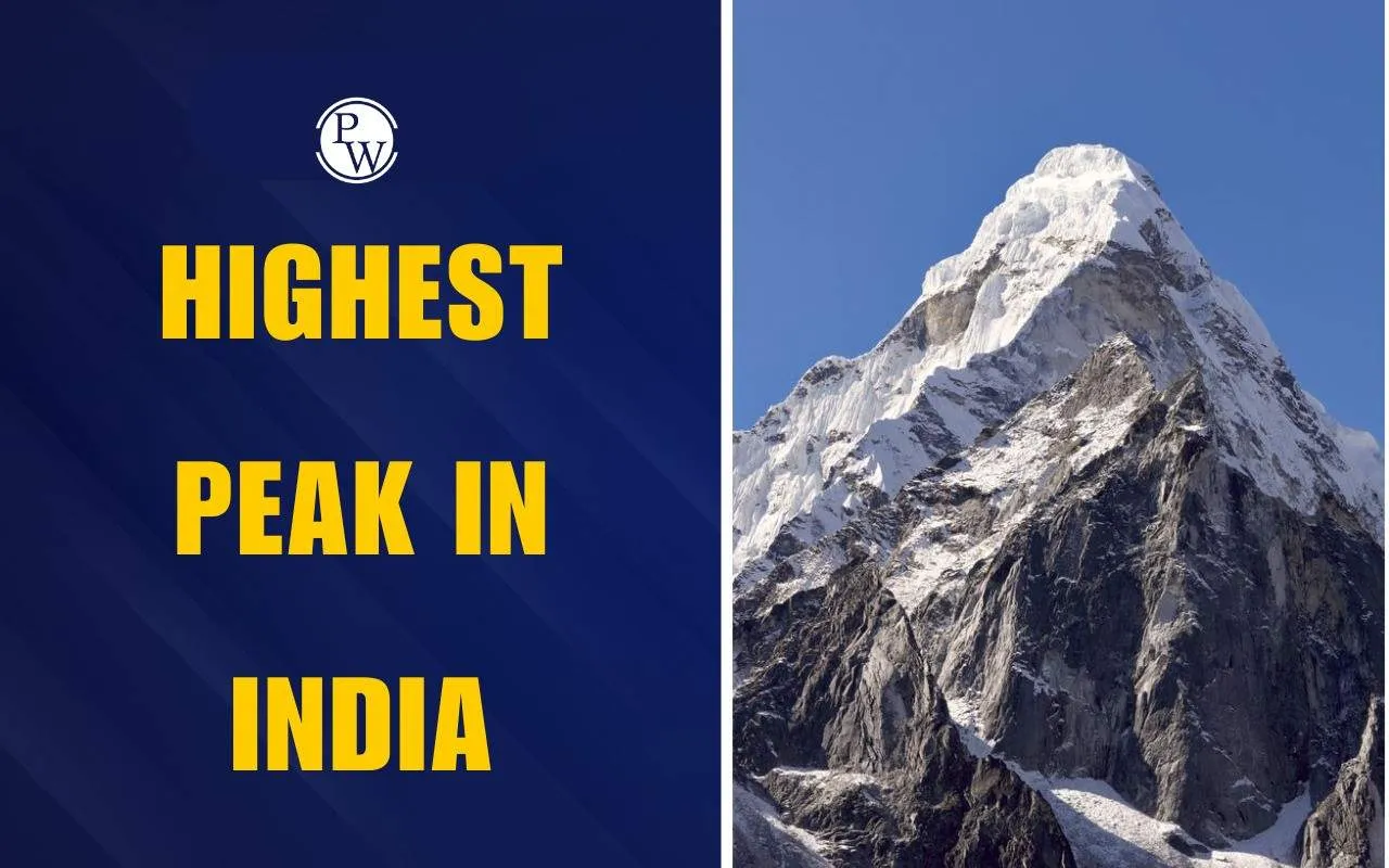
Kanchenjunga is the 1st highest peak in India. It rises to 8,586 meters (28,169 feet). This peak sits on the border between India and Nepal. It is also the third-highest mountain globally. Kanchenjunga is a significant feature of the Himalayan range in Sikkim.
List of Highest Peaks in India
Below is a comprehensive list covering major highest mountain peaks in India, including Himalayan and non-Himalayan regions.
|
List of Highest Peaks in India |
|||
|---|---|---|---|
|
Peak |
Range/ Region |
State |
Height |
|
Arma Konda |
Eastern Ghats |
Andhra Pradesh |
1680 m |
|
Kangto |
Eastern Himalaya |
Arunachal Pradesh |
7090 m |
|
Someshwar Fort |
West Champaran Dist |
Bihar |
880 m |
|
Bailadila Range |
Dantewada District |
Chhattisgarh |
1276 m |
|
Sosogad |
Western Ghats |
Goa |
1022 m |
|
Girnar |
Junagadh District |
Gujarat |
1145 m |
|
Karoh Peak |
Morni Hills |
Haryana |
1499 m |
|
Reo Purgyil |
Western Himalaya |
Himachal Pradesh |
6816 m |
|
K2 |
Karakoram |
Jammu and Kashmir |
8611 m |
|
Parasnath |
Parasnath Hills |
Jharkhand |
1366 m |
|
Mullayanagiri |
Western Ghats |
Karnataka |
1925 m |
|
Anamudi |
Western Ghats |
Kerala |
2695 m |
|
Dhupgarh |
Satpura |
Madhya Pradesh |
1350 m |
|
Kalsubai |
Western Ghats |
Maharashtra |
1646 m |
|
Mount Iso |
Senapati District |
Manipur |
2994 m |
|
Shillong Peak |
Khasi Hills |
Meghalaya |
1965 m |
|
Phawngpui |
Saiha District |
Mizoram |
2165 m |
|
Mount Saramati |
Naga Hills |
Nagaland |
3841 m |
|
Deomali |
Eastern Ghats |
Odisha |
1672 m |
|
Unnamed point |
Rupnagar District |
Punjab |
1000 m |
|
Guru Shikhar |
Aravali |
Rajasthan |
1722 m |
|
Kanchenjunga |
Eastern Himalaya |
Sikkim |
8598 m |
|
Doddabetta |
Nilgiri Hills |
Tamil Nadu |
2636 m |
|
Laxmidevipalli |
Deccan Plateau |
Telangana |
670 m |
|
Betalongchhip |
Jampui Hills |
Tripura |
1097 m |
|
Amsot Peak |
Shivalik Hills |
Uttar Pradesh |
957 m |
|
Nanda Devi |
Garhwal Himalaya |
Uttarakhand |
7816 m |
|
Sandakphu |
Eastern Himalaya |
West Bengal |
3636 m |
Second Highest Mountain Peak in India
Nanda Devi is the second highest mountain peak in India. Its elevation is 7,816 meters (25,643 feet). This peak is located in Uttarakhand's Chamoli district. It forms part of the Garhwal Himalayas. The Nanda Devi National Park, a UNESCO World Heritage Site, surrounds it.
Highest Peak of India K2 or Kanchenjunga
Kanchenjunga has a height of 8,586 meters and lies on the India–Nepal border (Sikkim). It is officially recognized as the highest peak of India. While K2 is taller (8,611 meters), but it is located in Pakistan-occupied Kashmir (POK). Therefore, it is not considered India’s highest peak in official geography.
Top 10 Highest Peaks in India
Here are the top 10 highest peaks in India:
Kangchenjunga – Sikkim
India’s tallest mountain (8,586 m). It is the world's third-highest. Located on the India-Nepal border.
Nanda Devi – Uttarakhand
Nanda Devi is the 2nd highest peak in India, standing at 7,816 meters. It symbolizes Uttarakhand's natural beauty.
Kamet – Uttarakhand
Highest peak in the Zaskar range (7,756 m). It is remote and challenging for mountaineers.
Saltoro Kangri – Jammu & Kashmir
Dominates the Saltoro range in Karakoram (7,742 m). It is near the Siachen Glacier.
Saser Kangri – Jammu & Kashmir
Located in Saser Muztagh range (7,672 m). It has five towering summits.
Mamostong Kangri – Jammu & Kashmir
Rises in the Rimo range (7,516 m). India's sixth-highest peak, near Siachen.
Rimo – Jammu & Kashmir
Tallest of the Rimo peaks (7,385 m). It is near the Karakoram Pass.
Hardeol – Uttarakhand
Known as “Temple of God” (7,151 m). It is in the Kumaon Himalayas.
Chaukhamba – Uttarakhand
Highest peak in the Gangotri group (7,138 m). It has a distinct four-pointed structure.
Trisul – Uttarakhand
Named after Lord Shiva’s trident (7,120 m). Located near Nanda Devi in the Kumaon region.
Highest Mountain Peak in the Western Ghats
Anamudi is the highest mountain peak in the Western Ghats. It is in Kerala’s Idukki district. It stands at 2,695 meters (8,842 feet). This peak is also called the “Everest of South India.” It lies within Eravikulam National Park.
Highest Mountain Peak in the Eastern Ghats
Arma Konda, also known as Jindhagada Peak, is the highest mountain peak in the Eastern Ghats. It is in Andhra Pradesh’s Alluri Sitharama Raju district. Its elevation is about 1,680 meters (5,512 feet). This peak is part of the Araku Valley region.
Classification of Peaks in India
Understanding the classification of peaks is important.
Peak Classification Rules
-
National Claim: A peak's status as "highest in India" depends on political boundaries. K2, while taller than Kanchenjunga, is in Pakistan-occupied Kashmir.
-
Highest Within Borders: Nanda Devi is the highest mountain peak located entirely within India's internationally recognized borders.
-
Regional Dominance: Peaks like Anamudi and Arma Konda hold significant "highest peak" titles within specific mountain ranges, such as the Western and Eastern Ghats.
Highest Peak in India FAQs
Which is the highest peak in India?
What is the height of Kanchenjunga?
Is the highest peak in India K2?
Which is the highest peak in world?
Which is the second highest peak in India?