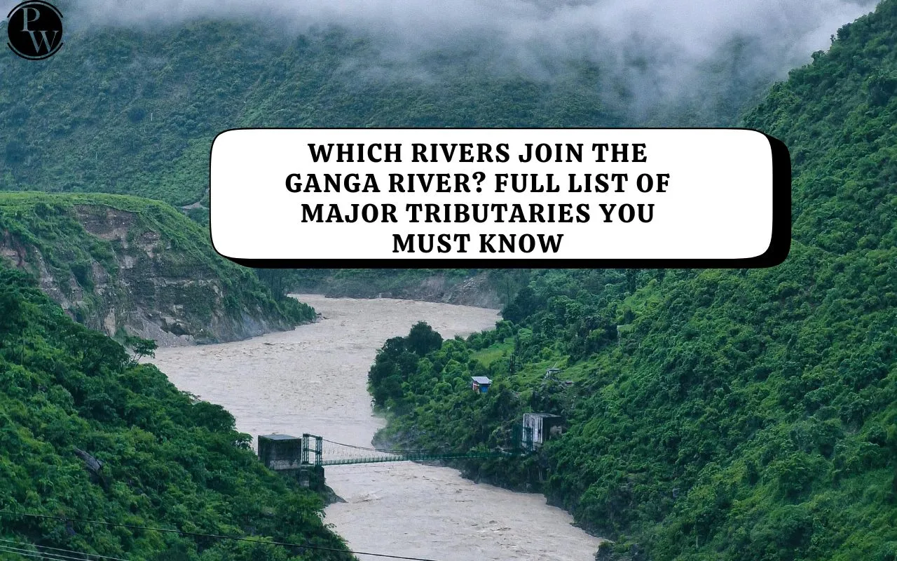
Which Rivers Join the Ganga River? Check the Full List of Tributaries

The Ganga River System is one of India’s most extensive and important river networks. Originating from the Himalayas, it flows eastward across northern India before reaching the Bay of Bengal. The river supports agriculture, drinking water, industries, and ecosystems across several states, making it a lifeline for millions.
Overview of the Ganga River System
The Ganga is one of the three major river basins that make up the Himalayan Drainage System. Stretching over 2,500 kilometres, it is India’s longest river and among the longest in Asia. Along its journey, it shapes the geography and sustains the fertile Gangetic plains, which are among the most densely populated regions in the world.
The river basin covers an area of about 8.61 lakh square kilometres, nearly 26% of India’s land area, and supports around half of the country’s population. It supplies over one-third of India’s surface water and accounts for more than half of its water use.
Origin and Course of the Ganga
The Ganga River begins as the Bhagirathi stream, emerging from the Gangotri Glacier near Gaumukh in Uttarakhand at an altitude of about 3,892 metres. Several mountain streams feed its upper course, including Alaknanda, Dhauliganga, Pindar, Mandakini, and Bhilangana.
At Devprayag, the Bhagirathi merges with the Alaknanda, and from this confluence, the river takes the name Ganga.
Flowing through the plains, it passes through the states of Uttarakhand, Uttar Pradesh, Bihar, Jharkhand, and West Bengal, before finally draining into the Bay of Bengal.
Important irrigation barrages are located at Haridwar, Bijnore, and Narora, where water is diverted into canals such as the Upper Ganga, Madhya Ganga, and Lower Ganga Canals.
Indian Rivers That Join the Ganga
The Ganga is joined by numerous tributaries that greatly increase its volume and spread. These tributaries originate from both the Himalayas (northern tributaries) and the Peninsular Plateau (southern tributaries).
Major Northern Tributaries
These rivers rise from the Himalayan ranges and carry a large volume of water throughout the year.
-
Yamuna River – The largest tributary of the Ganga, it meets at Prayagraj (Allahabad) at the Sangam.
-
Ramganga River – Joins the Ganga near Kannauj in Uttar Pradesh.
-
Gomti River – Flows through Lucknow and merges with the Ganga near Saidpur.
-
Ghaghara River – Originates in the Himalayas of Nepal and joins near Chhapra in Bihar.
-
Gandak River – Also rises in Nepal and joins the Ganga near Patna.
-
Kosi River – Known as the “Sorrow of Bihar,” it joins the Ganga near Kursela after flowing through Nepal.
Major Southern Tributaries
These rivers are seasonal and originate from the Peninsular Plateau.
-
Chambal, Betwa, and Ken – These rivers flow northward and meet the Yamuna, which then carries their waters to the Ganga.
-
Son River – Originates near Amarkantak and joins the Ganga near Patna.
-
Damodar River – Flows through Jharkhand and West Bengal and joins the Hooghly, a distributary of the Ganga.
The Lower Course and Distributaries
As the Ganga approaches West Bengal, the Farakka Barrage controls its flow and diverts part of the water into a canal feeding the Hooghly River, which helps maintain navigability near Kolkata.
Below Farakka, the river splits into two main distributaries:
-
Bhagirathi-Hooghly River – Flows through West Bengal and meets the Bay of Bengal near Kolkata.
-
Padma River – Flows eastward into Bangladesh, where it meets the Brahmaputra and Meghna before entering the Bay of Bengal.
The Ganga River System is a vast network of rivers that connects the Himalayas to the Bay of Bengal. Major Indian rivers such as the Yamuna, Ghaghara, Gandak, Kosi, Gomti, Son, Ramganga, and Damodar together form this powerful system. These rivers not only sustain agriculture and ecosystems but also define the geography, economy, and culture of northern and eastern India.
Which Rivers join the River Ganga? FAQs
Which is the main tributary of the Ganga River?
Which rivers from the north join the Ganga?
Which southern rivers join the Ganga River system?
Where does the Yamuna meet the Ganga?