
Geography of Maharashtra, Physical Geography, Topography
Explore Geography of Maharashtra, from coastal Konkan and the Western Ghats to the expansive Deccan Plateau, shaping its climate, economy, and rich biodiversity.
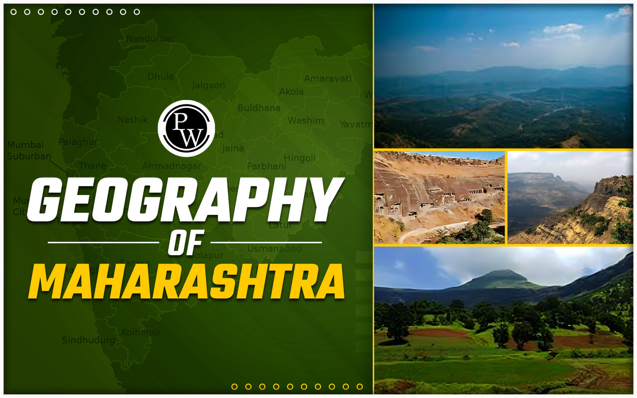
Geography of Maharashtra
Geography of Maharashtra: Maharashtra, located in the western part of India, is the third-largest state by area and the second-most populous state in the country. It is bordered by the Arabian Sea to the west, Gujarat and the Union territory of Dadra and Nagar Haveli to the northwest, Madhya Pradesh to the north and northeast, Chhattisgarh to the east, Telangana to the southeast, Karnataka to the south, and Goa to the southwest. The diverse Geography of Maharashtra, which includes coastal plains, mountain ranges, plateaus, and river basins, plays a crucial role in shaping its climate, economy, culture, and lifestyle.Geography of Maharashtra: Topography and Regions
The Geography of Maharashtra is characterized by three distinct regions: the Konkan coastal strip, the Sahyadri or Western Ghats, and the Deccan Plateau.- Konkan Coastal Strip:
- Sahyadri or Western Ghats:
- Deccan Plateau:
Geography of Maharashtra: River Systems
Maharashtra is blessed with several major rivers that are crucial for its agriculture, drinking water supply, and industrial activities. The major river systems along with the Geography of Maharashtra include:- Godavari River:
- Krishna River:
- Bhima River:
- Tapi River:
Geography of Maharashtra: Climate
Maharashtra's climate varies significantly across its diverse topography. The state experiences three distinct seasons: summer, monsoon, and winter.- Summer (March to June):
- Monsoon (June to September):
- Winter (October to February):
Geography of Maharashtra Biodiversity
Maharashtra boasts a rich biodiversity along with the Geography of Maharashtra, thanks to its varied landscapes and climatic conditions. The Western Ghats are a biodiversity hotspot, home to numerous endemic species of plants, animals, and birds. The forests of the Ghats harbor tigers, leopards, elephants, gaur, and several species of deer. Birdwatchers can find a wide variety of avian species, including the Malabar pied hornbill, great Indian hornbill, and Nilgiri wood pigeon. The state also has several wildlife sanctuaries and national parks, such as Tadoba-Andhari Tiger Reserve, Sanjay Gandhi National Park, and Chandoli National Park. These protected areas are crucial for the conservation of endangered species and the preservation of natural habitats.Geography of Maharashtra FAQs
Q1. What are the main geographical regions of Maharashtra?
Ans. Maharashtra consists of three main regions: the Konkan coastal strip, the Sahyadri (Western Ghats) mountain range, and the Deccan Plateau.
Q2. What is the significance of the Western Ghats in Maharashtra?
Ans. The Western Ghats, a UNESCO World Heritage Site, are crucial for their biodiversity, acting as a barrier for monsoon rains and hosting numerous wildlife sanctuaries and hill stations.
Q3. How does the climate vary across Maharashtra?
Ans. Maharashtra experiences diverse climates: the coastal region has a humid, tropical climate, the Western Ghats receive heavy monsoon rains, and the Deccan Plateau has a semi-arid climate with hot summers and mild winters.
Q4. What are the major rivers in Maharashtra and their importance?
Ans. Major rivers include the Godavari, Krishna, Bhima, and Tapi. These rivers are vital for irrigation, drinking water, and supporting agriculture, particularly in regions like Marathwada and Vidarbha.
🔥 Trending Blogs
Talk to a counsellorHave doubts? Our support team will be happy to assist you!

Check out these Related Articles


Join 15 Million students on the app today!

Free Learning Resources
PW Books
Notes (Class 10-12)
PW Study Materials
Notes (Class 6-9)
Ncert Solutions
Govt Exams
Our Other Websites
Class 6th to 12th Online Courses
Govt Job Exams Courses
UPSC Coaching
Defence Exam Coaching
Gate Exam Coaching
Other Exams
Know about Physics Wallah
Physics Wallah is an Indian edtech platform that provides accessible & comprehensive learning experiences to students from Class 6th to postgraduate level. We also provide extensive NCERT solutions, sample paper, NEET, JEE Mains, BITSAT previous year papers & more such resources to students. Physics Wallah also caters to over 3.5 million registered students and over 78 lakh+ Youtube subscribers with 4.8 rating on its app.
We Stand Out because
We provide students with intensive courses with India’s qualified & experienced faculties & mentors. PW strives to make the learning experience comprehensive and accessible for students of all sections of society. We believe in empowering every single student who couldn't dream of a good career in engineering and medical field earlier.
Our Key Focus Areas
Physics Wallah's main focus is to make the learning experience as economical as possible for all students. With our affordable courses like Lakshya, Udaan and Arjuna and many others, we have been able to provide a platform for lakhs of aspirants. From providing Chemistry, Maths, Physics formula to giving e-books of eminent authors like RD Sharma, RS Aggarwal and Lakhmir Singh, PW focuses on every single student's need for preparation.
What Makes Us Different
Physics Wallah strives to develop a comprehensive pedagogical structure for students, where they get a state-of-the-art learning experience with study material and resources. Apart from catering students preparing for JEE Mains and NEET, PW also provides study material for each state board like Uttar Pradesh, Bihar, and others
Copyright © 2026 Physicswallah Limited All rights reserved.