Geography of West Bengal, Climate, History, WBSC Notes
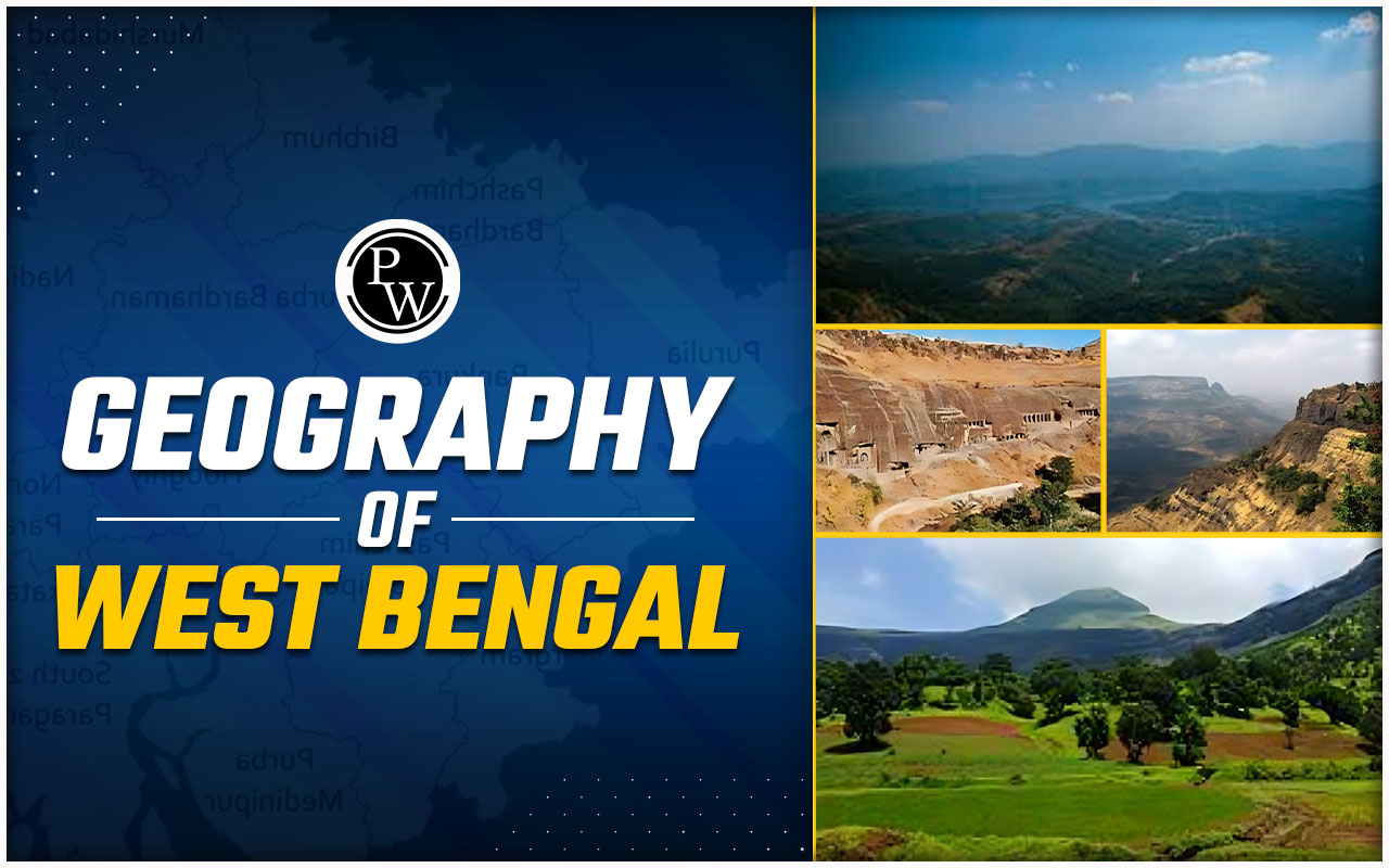
Geography of West Bengal: West Bengal , an eastern state of India, West Bengal is comprised of rich cultural heritage and diverse landscapes. It is known for its vibrant culture, historical significance, and remarkable geographical features. From the high peaks of the Himalayas to the fertile plains of the Ganges and the coastal stretches of the Bay of Bengal, this state offers a fascinating blend of natural beauty and diversity in the geography of West Bengal. In this detailed guide, we will provide an overview of the geographical aspects of West Bengal, through exploring its terrain, climate, flora, fauna, and more.
Overview of the Geography of West Bengal
The Geography of West Bengal consists of various landscapes, which range from the Himalayan mountains in the north to the fertile Ganges plains and mangrove-rich Sundarbans in the south. This diversity results in rich biodiversity and a variety of climates, making it an area of both ecological and economic importance.
| Geography of West Bengal Overview | |
|---|---|
| Feature | Description |
| Area | 88,752 sq km |
| Topography | Himalayas, Terai-Dooars, Ganges Plains, Sundarbans |
| Major Rivers | Ganges, Hooghly, Teesta, Damodar |
| Climate | Tropical with summer, monsoon, and winter seasons |
| Biodiversity | Royal Bengal Tiger, Indian Rhinoceros, extensive mangrove forests |
| Economic Regions | Darjeeling (tea plantations), Kolkata (industry), Sundarbans (ecotourism) |
Physical Geography of West Bengal
The Geography of West Bengal spans over 88,752 square kilometres, which makes it the 13th largest state in India. West Bengal is bordered by Bhutan and the Indian states of Sikkim and Assam to the north, Bihar to the west, Jharkhand and Odisha to the southwest, and Bangladesh to the east. The southern boundary is formed by the Bay of Bengal. The Topography of West Bengal is quite diverse, with a variety of geographical features ranging from high mountains to fertile plains and dense forests.
1. Northern Highlands
The northern part of West Bengal is generally represented by the Himalayan foothills and the Darjeeling Himalayan hill region . This region includes the districts of Darjeeling, Kalimpong, Alipurduar, and Jalpaiguri . The Himalayan ranges dominate the northern part landscape, and it also offers stunning views and a relaxed climate.
- Darjeeling : Known as the "Queen of the Hills," Darjeeling is famous for its tea plantations and stunning views of the Kanchenjunga peak, the third-highest mountain in the world. The Darjeeling Himalayan Railway , a UNESCO World Heritage Site, adds to the charm of this region.
- Kalimpong : This scenic hill station is known for its dense greenery, orchids, and monasteries. The Kalimpong region is rich in biodiversity and offers opportunities for trekking and nature exploration.
2. Terai and Dooars
South of the Himalayan foothills lies the Terai region, this region is also known as the Dooars or Duars . The Terai is a lowland region with wet and swamp areas and grasslands, even after that Dooars is characterized by rich forests and tea gardens. The Geography of West Bengal in this region supports a variety of wildlife and is famous for its national parks and wildlife sanctuaries, such as:
- Gorumara National Park : Home to the Indian rhinoceros, elephants, leopards, and various bird species.
- Jaldapara National Park : Known for its population of one-horned rhinoceroses, bison, and diverse avian fauna.
- Buxa Tiger Reserve : A sanctuary for tigers, leopards, elephants, and several endangered species.
3. The Ganges Plains
The Ganges plains form the central part of West Bengal, extending from the northern hills to the southern delta. This region is characterized by fertile alluvial soil, making it one of the most agriculturally productive areas in India. The plains are home to several Rivers Flowing Through West Bengal, including the Ganges , Hooghly , Damodar , and Teesta .
- Hooghly River : Source of the Ganges, the Hooghly River is significant for trade and transportation. The river flows through Kolkata, the state capital, contributing to the city's historical and economic importance.
- Damodar Valley : It is known as the "Sorrow of Bengal" due to frequent flooding, the Damodar River now has a series of dams and barrages that control floods and generate hydroelectric power.
4. The Sundarbans
The southernmost part of West Bengal is occupied by the Sundarbans , the world's largest mangrove forest and a UNESCO World Heritage Site. This deltaic region is formed by the intersection of the Ganges, Brahmaputra, and Meghna rivers. The Sundarbans is famous for its unique ecosystem and the majestic Royal Bengal Tiger .
- Sundarbans National Park : A biosphere reserve and a tiger reserve, it is home to the Bengal tiger, saltwater crocodiles, spotted deer, and various bird species.
- Mangrove Forests : The Sundarbans are dominated by mangrove vegetation, with species like the Sundari tree, which gives the region its name. These forests act as a natural barrier against cyclones and coastal erosion.
5. Coastal Regions
The coastal areas of West Bengal, stretching along the Bay of Bengal, include beautiful beaches and significant ports. The Geography of West Bengal in these coastal regions is characterized by sandy shores, estuaries, and bustling docks. Key coastal destinations include:
- Digha : A popular beach town known for its scenic beauty and marine life.
- Mandarmani : A quiet beach destination with prospects for water sports and relaxation.
- Haldia : An industrial city and major port facilitating trade and commerce.
Climate in West Bengal
The Climate of West Bengal is tropical, with distinct seasons: summer, monsoon, and winter.
1. Summer (March to June)
The summer season in West Bengal is characterized by hot and humid weather. The plains experience temperatures ranging from 25°C to 40°C (77°F to 104°F) , while the hill regions have milder temperatures.
2. Monsoon (June to September)
The monsoon season brings heavy rainfall to the state, with the eastern regions receiving the highest precipitation. The average annual rainfall ranges from 1,500 to 3,000 millimetres (59 to 118 inches) . This annual rain is an important factor for the geography of West Bengal and agriculture, replenishing water sources and supporting the growth of rice, jute, and tea.
3. Winter (October to February)
Winter in West Bengal is a pleasant weather, with temperatures ranging from 5°C to 25°C (41°F to 77°F) . The northern hills experience colder temperatures, with occasional snowfall in higher altitudes.
Rivers Flowing Through West Bengal and Water Resources
Rivers Flowing Through West Bengal play a critical role in shaping the state's landscape and supporting its economy. The Geography of West Bengal is marked by many considerable rivers that provide essential water resources for agriculture, industry, and daily life.
1. The Ganges
The Ganges River flows through the state, dividing into several distributaries, including the Hooghly. The river supports agriculture and is an essential source of water for millions of people.
2. The Teesta
Originating from the Himalayas, the Teesta River flows through the northern part of West Bengal, providing irrigation and supporting agriculture in the region.
3. The Damodar
The river infamous for causing floods, the Damodar River is now regulated by a series of dams and barrages, providing water for irrigation and hydroelectric power generation.
Soil in West Bengal
The Soil in West Bengal is mixed and differs across different regions, supporting a wide range of agricultural activities. The Geography of West Bengal offers several soil types:- Alluvial Soil : Predominantly found in the Ganges plains, this fertile soil supports the cultivation of rice, jute, and various crops.
- Laterite Soil : Found in the western plateau regions, this soil is suitable for crops like tea, coffee, and cashew nuts.
- Mountain Soil : Present in the Himalayan foothills, supporting the growth of tea and other horticultural crops.
Flora and Fauna of West Bengal
The Flora and Fauna of West Bengal are diverse, reflecting the assorted Geography of West Bengal. The state is home to rich biodiversity, with forests, wetlands, and grasslands housing various species.Flora in the Geography of West Bengal
- Tropical Forests : Found in the northern hills and the Sundarbans, these forests include sal, teak, and bamboo trees.
- Mangroves : The Sundarbans are home to unique mangrove species, with the Sundari tree being the most prominent.
- Tea Gardens : The Darjeeling and Dooars regions are known for their lush tea plantations, producing world-famous Darjeeling tea.
Fauna in the Geography of West Bengal
- Royal Bengal Tiger : The Sundarbans are home to the famous Royal Bengal Tiger, a symbol of India's wildlife heritage.
- Indian Rhinoceros : Found in the Terai and Dooars regions, the one-horned rhinoceros is a significant attraction in wildlife reserves.
- Elephants and Leopards : The magnificent animals like large-trunk elephants and leopards roam in the forests and grasslands of the northern regions.
- Birdlife : West Bengal is a sanctuary for birdwatchers, with numerous species inhabiting its wetlands and forests, including migratory birds during the winter months.
Economic Geography of West Bengal
The Geography of West Bengal significantly influences its economy, with agriculture, industry, and tourism playing essential roles. The Political Geography of West Bengal includes many districts that contribute to its various economic activities.1. Agriculture
The fertile plains of West Bengal make it an agriculturally rich state. Key crops include rice, jute, tea, sugarcane, and various fruits and vegetables. The state is the largest producer of rice and jute in India, contributing significantly to the country's agricultural output.2. Industry
West Bengal has a diverse industrial sector, with key industries including textiles, chemicals, engineering, and information technology. The state capital, Kolkata, is a major commercial and financial hub, hosting multiple industries and businesses.- Haldia Petrochemicals : A significant petrochemical complex located in Haldia, contributing to the state's industrial growth.
- Durgapur Steel Plant : An important steel manufacturing unit in Durgapur, part of the Steel Authority of India Limited (SAIL).
3. Tourism
The diverse Geography of West Bengal attracts tourists from all over the world. The state's rich cultural heritage, historical sites, hill stations, beaches, and wildlife reserves make it a popular destination for travellers.- Kolkata : Known as the "City of Joy," Kolkata offers a blend of colonial architecture, cultural festivals, and vibrant street life.
- Darjeeling : The scenic beauty of Darjeeling, with its tea gardens and Himalayan views, draws tourists seeking for quiet and peaceful place.
- Sundarbans : The unique ecosystem and wildlife of the Sundarbans make it a UNESCO World Heritage Site and a major tourist attraction.
Geography of West Bengal FAQs
Q.1 What are the major geographical features of West Bengal?
Q.2 What is the significance of the Topography of West Bengal?
Q.3 How does the Political Geography of West Bengal impact its administration?
Q.4 How does the Climate of West Bengal vary across regions?
Q.5 What role do Rivers Flowing Through West Bengal play in its economy?