

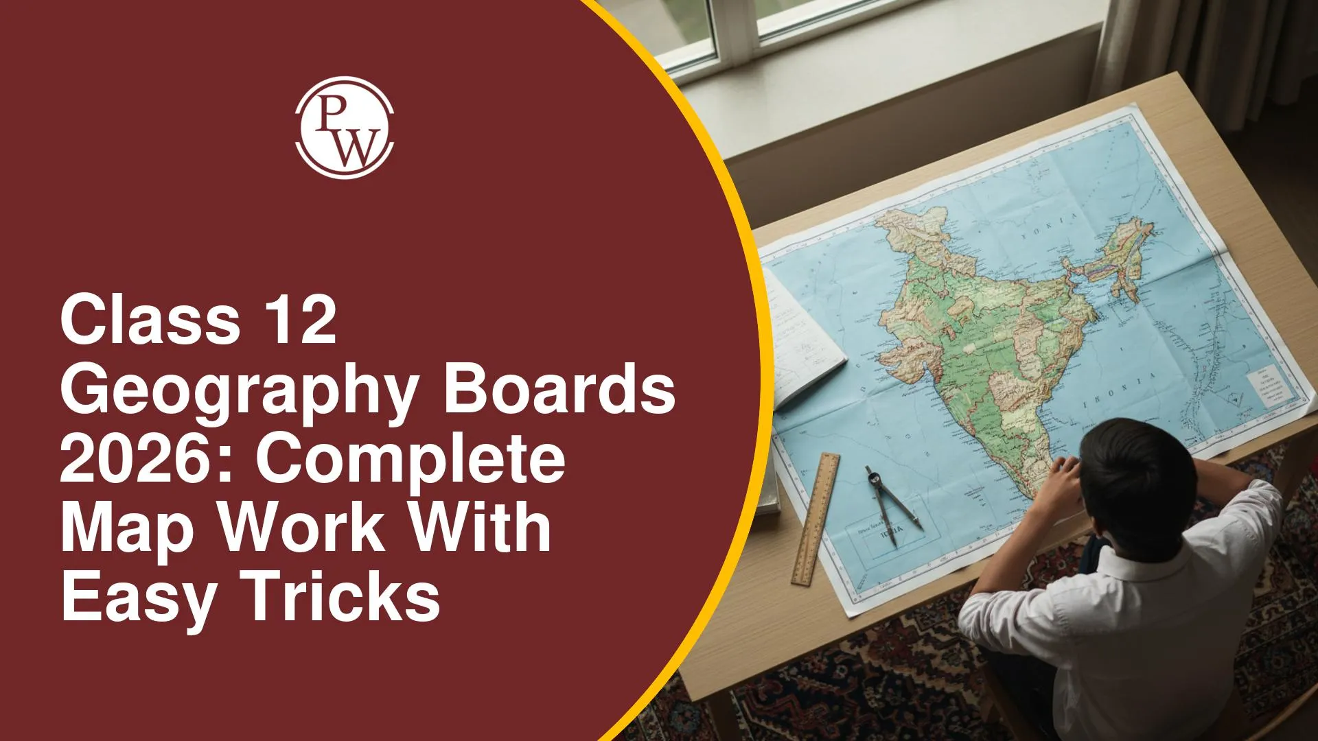
CBSE Class 12 Geography Boards 2026: Complete Map Work with Easy Tricks

CBSE Class 12 Geography Boards 2026 will be conducted on Thursday, 26th February 2026, from 10:30 AM to 01:30 PM, making it important for students to plan their preparation strategically. Geography is a scoring subject, and map work alone carries 10 marks in the board exam. Many students feel nervous about identifying locations, minerals, ports, and world features, but with the right tricks and regular practice, map questions can become the easiest part of the paper.
Geography Map Question Structure and Weightage
The 10 marks for map work are divided into two 5-mark questions, each from a different textbook.
|
Map Question Structure and Weightage |
||||
|
Part |
Textbook |
Marks |
Type of Question |
Task Required |
|
Part 1 |
Fundamentals of Human Geography (World Map) |
5 Marks |
Identification Only |
Locations are already marked on the world map; students identify and write the correct name. |
|
Part 2 |
India: People and Economy (India Map) |
5 Marks |
Identification + Labeling |
Students locate and label the given features on a blank political map of India. |
Syllabus Breakdown for Map Work (CBSE)
Specific chapters are designated for map questions.
Part 1: Fundamentals of Human Geography (World Map)
-
Excluded Chapters: Chapters 1, 2, 3, 5, 6, and 8 will not have map questions.
-
Included Chapters:
-
Chapter 4: Primary Activities: Covers global areas of subsistence gathering, nomadic herding, commercial livestock rearing, extensive commercial grain farming, and mixed farming.
-
Chapter 7: Transport and Communication: Very important, a question is certain. Topics include trans-continental railways, major seaports, and major airports.
Part 2: India: People and Economy (India Map)
-
Included Chapters:
-
Chapter 1: Population: States with highest/lowest population density.
-
Chapter 3: Land Resources and Agriculture: Major crop areas.
-
Chapter 5: Mineral and Energy Resources: The most confusing chapter; requires significant memorization.
-
Chapter 7: International Trade: Major seaports in India.
-
Excluded Chapters: Chapters 2, 4, and 8 will not have map questions.
Part 1: World Map - Foundational Knowledge
Identifying the world's continents and oceans and their relative locations is a fundamental requirement.
-
Continents: Asia, Europe, Africa, North America, South America, Australia, Antarctica.
-
Oceans: Pacific, Atlantic, Indian, Arctic, Southern Oceans.
Part 1: World Map - Chapter 4: Primary Activities
1. Areas of Subsistence Gathering
Practiced in regions with extreme climatic conditions.
-
High-Latitude Zones: Northern Canada, Northern Eurasia.
-
Tropical Zones: Amazon Basin, Tropical Africa, Southeast Asia (Northeast India, Myanmar, Thailand, Indonesia).
-
Australia: Northern Fringe of Australia.
2. Areas of Nomadic Herding
Communities move with livestock, often practicing transhumance, common where agriculture is unfeasible.
-
Major Belts:
-
Tundra region of Eurasia.
-
Belt from Atlantic coast of North Africa, across Arabian Peninsula, to Mongolia and Central China.
-
South-West Africa.
-
Island of Madagascar.
3. Areas of Extensive Commercial Grain Farming Map Trick
Temperate grassland regions for commercial agriculture.
Memory Tip/Trick
"Commercial" indicates developed regions with historical European colonization, like North America, Australia, parts of South America and Africa, which pioneered agricultural commercialization.)
|
Areas of Extensive Commercial Grain Farming Map Trick |
|
|---|---|
|
Grassland Name |
Location
|
|
Steppes |
Eurasia |
|
Prairies |
North America |
|
Pampas |
Argentina (South America) |
|
Velds |
South Africa |
|
Downs |
Australia |
4. Areas of Commercial Livestock Rearing
Raising livestock on a commercial scale.
-
Key Regions:
-
Americas: Western United States; South America (Brazil, Uruguay, Argentina).
-
Africa: South Africa.
-
Oceania: Australia and New Zealand (very famous).
-
Asia: Central Asia (e.g., Kazakhstan).
5. Areas of Mixed Farming
Commercial agriculture combining crops (fodder crops) and livestock.
-
Key Regions:
-
Europe: Western Europe, parts of Eurasian belt.
-
North America: Eastern North America.
-
South America: Temperate latitudes (Pampas of Argentina, parts of Brazil).
-
Africa: Temperate region of South Africa.
Part 1: World Map - Chapter 7: Transport and Communication
1. Trans-Continental Railways
Focus on terminal stations.
-
Trans-Siberian: St. Petersburg (Western) to Vladivostok (Eastern).
-
Trans-Canadian: Vancouver (Western) to Halifax (Eastern).
-
Trans-Australian: Perth (Western) to Sydney (Eastern).
2. Major Seaports and Canals
Learn at least one major seaport for each continent's key countries.
-
Key Seaports by Region:
-
Europe: London, Hamburg
-
Africa: Cape Town
-
Australia: Sydney, Melbourne, Perth
-
North America: San Francisco, Vancouver
-
South America: Rio de Janeiro, Valparaiso
-
Asia: Karachi, Aden, Yokohama, Shanghai, Hong Kong
-
Major Canals:
-
Suez Canal: Connects Mediterranean Sea and Red Sea.
-
Panama Canal: Connects Atlantic Ocean and Pacific Ocean.
3. Major Inland Waterways
The Rhine Waterway is most important, flowing through Western Europe into the North Sea.
4. Major Airports
(Memory Tip: Major airports often correspond to capital cities of major countries.)
-
Examples:
-
Europe: Paris, London, Berlin
-
North America: New York, Chicago, San Francisco
-
Asia: Beijing, Tokyo, Moscow
Part 1: Sample Map Question Analysis
World map questions provide labeled points (A, B, C) and ask corresponding questions. Example: "Name the canal connecting the Atlantic and Pacific Oceans, marked 'C'." Answer: Panama Canal.
Part 2: India Map - State Identification Techniques
Correctly identifying Indian states is challenging.
Memory Tip/Trick
For the Eastern Coast, use "BOAT" and replace 'B' with 'W' to get
"W.O.A.T." for the sequence from North to South: **W**est Bengal, **O**disha, **A**ndhra Pradesh, **T**amil Nadu.)
(Memory Tip: For the Western Coast, use "काजू कतली गोवा में" ("Kaju Katli in Goa") for the sequence from South to North: क**erala, कarnataka, गoa, म**aharashtra.)
Logical Tip for Identifying States:
-
Telangana: Adjacent to Andhra Pradesh (formed from it in 2014).
-
Rajasthan: Largest state by area, visibly prominent in the northwest.
-
Gujarat: Westernmost state.
-
Arunachal Pradesh: Easternmost state.
-
Ladakh: Northernmost territory.
-
Assam: In the Northeast, distinct inverted 'Y' shape.
-
Sikkim: Small state between Nepal and Bhutan.
-
(Memory Tip: For Northern States, visualize "coldness" from top to bottom: **J**ammu & Kashmir (top), **H**imachal Pradesh (middle), **U**ttarakhand (bottom).)
-
(Memory Tip: To locate Punjab and Haryana, visualize "crossing" P and H; Punjab is west, Haryana east, adjacent to Delhi/UP.)
Application of State Knowledge to Geographical Data
Precise state location is vital for data-related questions.
Key Demographic and Development Indicators
-
Urbanization: Highest: Goa; Lowest: Himachal Pradesh.
-
Human Development Index (HDI): Highest: Kerala; Lowest: Chhattisgarh.
-
Population Density: Highest: Bihar; Lowest: Arunachal Pradesh (17 persons/sq. km).
Leading Producer States for Major Crops
-
Rice & Jute: West Bengal.
-
Tea: Assam.
-
Wheat & Sugarcane: Uttar Pradesh (UP).
-
Coffee: Karnataka.
-
Cotton: Gujarat.
Locating Mineral and Energy Resources
Identify key mines and resources by approximate location within a state. Know at least one major site per mineral per state. Most of India's mineral reserves (coal, iron, manganese) are in the eastern region.
1. Iron Ore Mines
-
Odisha: Mayurbhanj.
-
Chhattisgarh: Bailadila.
-
Maharashtra: Ratnagiri.
-
Karnataka: Bellary.
2. Manganese Mines
-
Madhya Pradesh: Balaghat.
3. Bauxite and Copper Mines
-
Bauxite: Katni (Madhya Pradesh).
4. Coal Mines
-
Jharkhand: Jharia (most important), Bokaro.
-
West Bengal: Raniganj.
-
Tamil Nadu: Neyveli (only major lignite in Southern India).
5. Major Oil Refineries
-
Uttar Pradesh: Mathura.
-
Bihar: Barauni.
-
Gujarat: Jamnagar.
-
Also in Assam.
Major Transportation Infrastructure
1. National Highway Corridors
-
North-South Corridor: Srinagar (J&K) to Kanyakumari (Tamil Nadu).
-
East-West Corridor: Porbandar (Gujarat) to Silchar (Assam).
-
Golden Quadrilateral: Connects Delhi, Mumbai, Chennai, Kolkata.
2. Major Sea Ports
Memorize at least one major seaport for each coastal state.
-
West Coast (N-S): Deendayal Port (Kandla, Gujarat), Mumbai Port/JNPT (Maharashtra), Marmagao (Goa), New Mangalore (Karnataka).
-
East Coast (N-S): Haldia (West Bengal), Paradip (Odisha), Visakhapatnam (Andhra Pradesh), Tuticorin (Tamil Nadu - southernmost).
3. Major Airports
Identify major international airports, often correlating with state capitals.
Example Map-Based Examination Questions
Exams provide a blank map and a list of items to identify, locate, and label.
Sample Questions:
-
Important iron ore mine in Odisha: (Mayurbhanj)
-
Southernmost seaport of India: (Tuticorin in Tamil Nadu)
-
Oil refinery in Gujarat: (Jamnagar)
-
State with highest population density: (Bihar)
-
State leading in tea production: (Assam)