








Best Videos on India - Location for Indian Physical Geography for UPSC by PW
 Avisha Das28 Oct, 2026
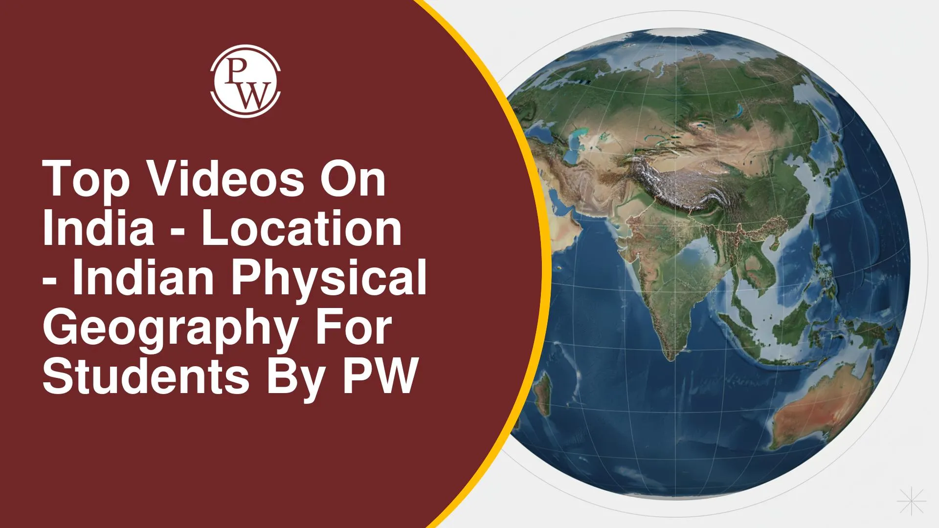
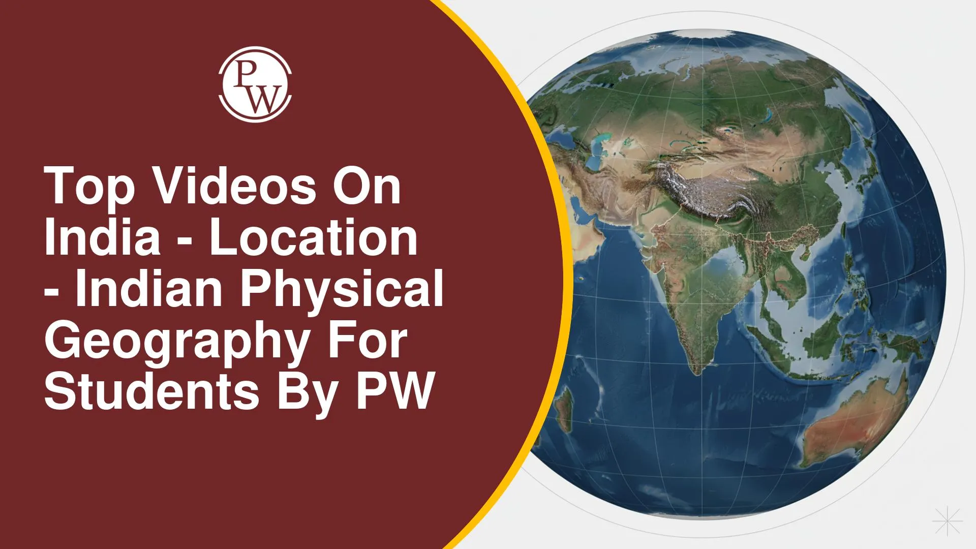
India’s position between different latitudes and longitudes influences how we understand its extent, time, borders, and relationships with neighbouring countries. In the India - Location chapter, these details often overlap: you may need to identify the Tropic of Cancer states, understand the Indian Standard Meridian, recall surrounding water bodies, or connect geographical position with strategic importance.
The four PW OnlyIAS videos cover India - Location through different formats, from NCERT chapter explanations to one-shot lessons on maps, time zones, and geological structure. Whether you are building your basics or preparing for UPSC and State PCS exams, you can choose the lesson that matches your needs and use the others to revisit important concepts and geographical facts.
Video 1: Revise India’s Location in One Shot With Maps, Coordinates and Time Zones
This one-shot lesson covers India’s latitude and longitude, hemispheric position, north-south and east-west extent, and time differences. It also discusses the question of multiple time zones in India, including administrative, energy, biological, border-management, and railway-related considerations. Maps highlight the states crossed by the Tropic of Cancer, relative longitudes, and north-eastern neighbours, while examples and memory aids support recall.
Watch this lesson when you want to bring location facts together and understand how they relate to practical geographical questions. Its combination of maps, comparisons, and time-zone discussion can help you revisit factual details and practise connecting them with broader issues.
Video 2: Understand India’s Location, Physical Structure and Geological Formation for UPSC
This lesson begins with India’s latitude, longitude, position on the world map, and neighbouring countries before examining how geography relates to climate, trade, and geopolitics. It then moves into India’s geological history and rock systems, including the Archean, Purana, Dravidian, and Gondwana systems, followed by the country’s physiographic divisions. The session also connects these topics with UPSC Prelims, Mains, Geography Optional foundations, State PCS preparation, previous-year question relevance, and answer-writing value addition.
Choose this video if you want to study India’s location alongside the broader physical geography of the country. The transition from geographical position to geological structure helps you see how the location chapter fits into a wider understanding of India, particularly when preparing for competitive examinations.
Video 3: Learn India’s Location Through NCERT Concepts and UPSC-Relevant Facts
This NCERT-based lecture explains India’s coordinates, latitudinal and longitudinal extent, boundaries, area, distances, and surrounding water bodies. It also covers the Indian Standard Meridian, Indian Standard Time, the Tropic of Cancer, neighbouring countries, and the concept of the Indian subcontinent. Strategic aspects of India’s location are linked with potential Prelims facts and Mains discussion points.
Use this lesson while building your initial chapter notes or returning to the NCERT fundamentals. The coverage connects core geographical facts with their examination relevance, helping you practise map interpretation and use location-related examples in objective and written answers.
Video 4: Cover the Complete Class 11 India - Location Chapter With NCERT Explanations in 1 hour
This full-chapter lesson follows the Class 11 Geography NCERT chapter on India’s location. It explains the country’s latitudinal and longitudinal extent, size, spatial dimensions, and position in the world. The lesson also discusses standard time, time differences, and neighbouring countries, bringing the main chapter concepts together in sequence.
Choose this video if you are studying the chapter for the first time or need a complete explanation before attempting textbook questions. Following the concepts in chapter order can help you connect the map-based details and revisit any areas that need further practice.
India - Location becomes easier to recall when you connect each fact with its geographical context instead of memorising details in isolation. Start with the NCERT chapter lesson to establish the fundamentals, then use the focused location lecture and one-shot videos to revisit coordinates, neighbouring countries, time differences, and broader physical geography. For competitive exam preparation, pay particular attention to map-based facts and practise applying them to textbook and previous-year questions.





 Live & recorded classes available at easeDashboard for progress trackingLakhs of practice questions