

NavIC Satellite System: IRNSS, Features, Coverage, Applications & Accuracy
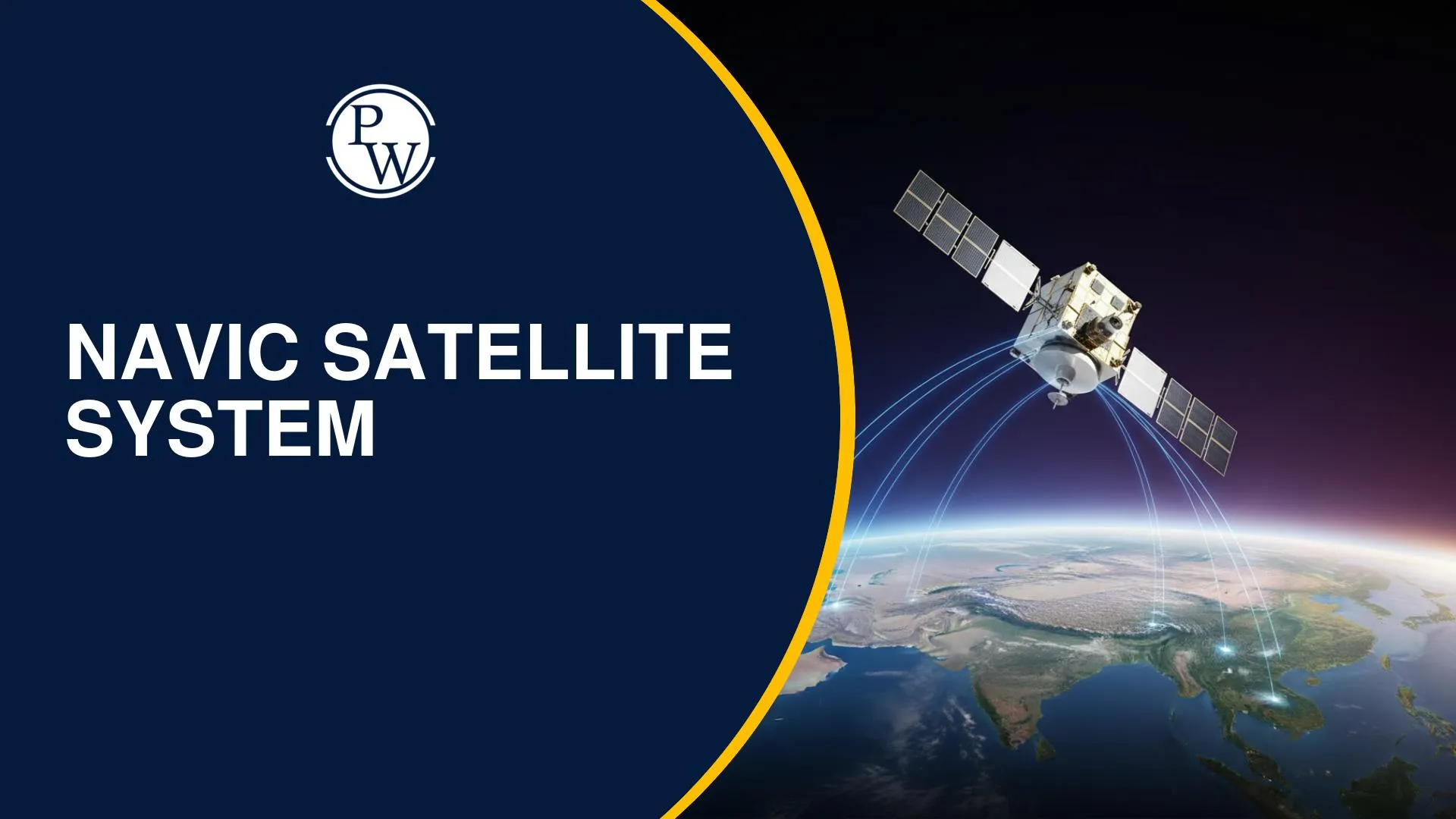

The NavIC Satellite System (IRNSS) is India’s regional navigation system developed by ISRO with 7 satellites. It provides accurate positioning (within 20m) across India and 1500 km beyond, offering civilian and strategic services with applications in transport, defence, and disaster alerts.
The Navic Satellite System is India’s own navigation framework developed to reduce dependence on foreign systems like GPS. Also known as the Indian Regional Navigation Satellite System (IRNSS), it is designed to provide accurate positioning, navigation, and timing services across India and nearby regions.
With growing demand for location-based services and strategic independence, the NavIC system plays a crucial role in strengthening India’s technological capabilities. Developed by ISRO NavIC, this system ensures reliable navigation for both civilian and defense applications.
What is Navic Satellite System?
The Navic Satellite System is a regional navigation system India developed to meet positioning and timing requirements. Earlier known as IRNSS, it consists of a constellation of satellites and ground infrastructure operating continuously.
-
Total satellites: 7 (initial constellation)
-
Operated by: ISRO
-
Also called: Indian GPS system
The NavIC navigation system ensures independent and reliable navigation services within its coverage region. It is India’s answer to global navigation systems like GPS, Galileo, and GLONASS.
NavIC System Architecture and Technology
The NavIC technology is based on a combination of space and ground segments.
Satellite Configuration
-
3 satellites in geostationary orbit (GEO)
-
4 satellites in inclined geosynchronous orbit (GSO)
Ground Segment
-
Control centres
-
Timing facilities
-
Monitoring and ranging stations
The system operates in:
-
L5 band (1176.45 MHz)
-
S band (2498.028 MHz)
-
New L1 band (1575.42 MHz) for future satellites
This advanced architecture enables high precision and continuous availability of navigation signals.
NavIC Features
The NavIC features make it a reliable and efficient navigation system:
-
Provides position accuracy better than 20 meters
-
Timing accuracy better than 50 nanoseconds
-
Works 24×7 with ground monitoring
-
Interoperable with global systems like GPS, Galileo, and BeiDou
-
Supports multiple frequency bands (L1, L5, S)
These features make the NavIC system suitable for both civilian and strategic use.
NavIC Coverage Area & Accuracy
NavIC Coverage Area
The NavIC coverage area includes:
-
Entire India
-
Up to 1500 km beyond Indian boundaries
This ensures reliable navigation in neighboring regions as well.
NavIC Accuracy
The NavIC accuracy is:
-
Position accuracy: < 20 meters
-
Timing accuracy: < 50 ns
This level of precision makes it highly useful for navigation, tracking, and defense operations.
NavIC Services
The NavIC services are divided into two main categories:
-
Standard Position Service (SPS)
-
Available for civilian users
-
Used in mobile devices, transport, and general applications
-
Restricted Service (RS)
-
Encrypted service for strategic and defense use
Both services operate in L5 and S bands, with future expansion to L1 band.
NavIC Satellites India List
The NavIC satellites list includes:
-
IRNSS-1A
-
IRNSS-1B
-
IRNSS-1C
-
IRNSS-1D
-
IRNSS-1E
-
IRNSS-1F
-
IRNSS-1G
-
IRNSS-1H
-
IRNSS-1I
These NavIC satellites India form the backbone of the navigation system, ensuring continuous signal availability.
NavIC Applications
The NavIC applications span across multiple sectors:
-
Transportation (road, rail, air, marine)
-
Location-based services
-
Personal navigation
-
Resource monitoring
-
Surveying and geodesy
-
Scientific research
-
Time synchronization
-
Disaster alerts (cyclones, tsunamis, high sea waves)
A key feature includes safety-of-life alert dissemination, especially for fishermen in areas with limited communication.
Money Market & Capital Context: Securities in Financial Market
In broader terms, Securities in Financial Market and navigation systems intersect in sectors like telecom, logistics, and infrastructure, where accurate positioning supports financial and operational efficiency.
NavIC vs GPS
The comparison of NavIC vs GPS highlights India’s strategic advantage:
|
Feature |
NavIC |
GPS |
|
Coverage |
Regional (India + 1500 km) |
Global |
|
Ownership |
India (ISRO) |
USA |
|
Accuracy (Regional) |
High in India |
Moderate |
|
Frequencies |
L1, L5, S |
Multiple bands |
|
Usage |
Civil + Strategic |
Global civilian & military |
The NavIC navigation system offers better accuracy within India compared to global systems.