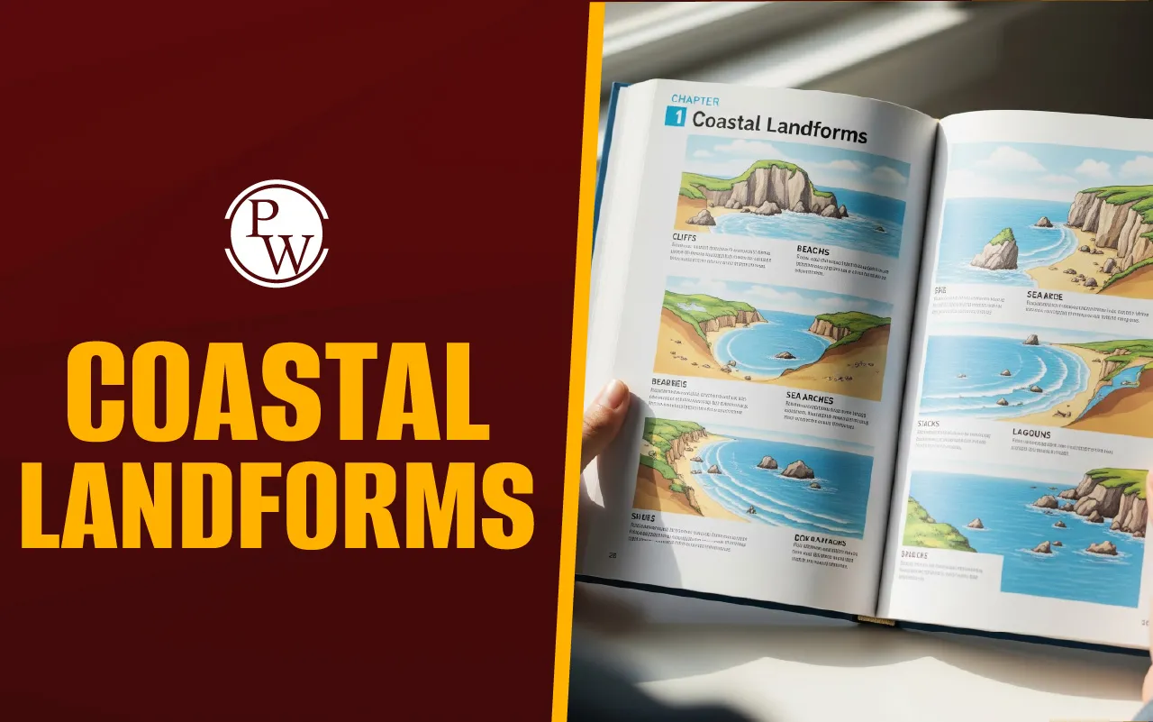
Coastal Landforms: Types, Formation, and Significance
Coastal landforms are natural features along the shoreline, formed by waves, tides, and currents, including cliffs, beaches, bays, headlands, and spits.

Coastal Landforms are geographical features found where the land meets the sea. They are shaped by a dynamic interaction between marine processes (like waves, tides, and currents) and terrestrial processes (like wind, river discharge, and weathering). Understanding these features, which range from cliffs to gentle beaches, is crucial for studying coastal environments, ecosystems, and human development.
The formation of Coastal Landforms is influenced by a combination of geological and environmental factors, leading to a variety of sizes and shapes along the world's coastlines. These features are broadly classified into two main types: those created by the wearing away of the land (Erosional Landforms) and those created by the buildup of sediment (Depositional Landforms).
Coastal Landforms
A coast is the zone where a body of water, such as the ocean, meets the land. Coastal Landforms are the distinct physical features created within this coastal environment, which is highly sensitive to changes in both sea and land conditions.
These features are the result of geological processes such as erosion, deposition, weathering, and tectonic activity. They are vital in shaping coastal ecosystems, providing habitats for various species, and playing a role in human activities like recreation, tourism, and fishing.
Processes of Coastal Landforms Formation
Coastal Landforms are created by several key geological and environmental processes working over time. Here is an overview of how these landforms are formed:
-
Erosion: This occurs when waves, currents, and sediment wear away the land. The speed of erosion is determined by factors such as the strength of the waves, the type of rock present, and the existence of protective vegetation. This process creates features such as cliffs and sea caves.
-
Deposition: This happens when sediment—carried by waves, rivers, or glaciers—is dropped off along the coast. Factors like wave energy, the amount of sediment available, and changes in sea level influence deposition. Beaches, spits, and deltas are examples of depositional landforms.
-
Weathering: This process involves the breakdown of rocks near the Earth's surface through chemical, physical, or biological means. Weathering weakens the rock, making it easier for erosion to occur, thus helping to shape the final landform.
-
Tectonic Activity: The movement of tectonic plates, which can cause the uplift or sinking (subsidence) of land, can significantly influence coastal features. For instance, tectonic uplift may contribute to the formation of high coastal cliffs.
-
Sea Level Changes: Variations in sea level, caused by factors like climate change or glacial melting, directly impact landforms. A rising sea level can increase coastal erosion and flood low-lying areas.
Types of Coastal Landforms
Coastal Landforms are classified based on the dominant process that created them: erosion or deposition.
Erosional Coastal Landforms
These landforms are primarily created by the destructive action of sea waves on coastal material.
|
Types of Coastal Landforms |
|
|
Erosional Landform |
Description |
|
Cliffs |
Steep, rock faces formed by waves eroding the land. |
|
Sea Caves |
Hollowed-out openings formed at the base of coastal cliffs. |
|
Sea Arches and Stacks |
Sea arches form when a cave erodes completely through a headland. If the arch collapses, it leaves an isolated, tall rock column called a stack. |
|
Wave-cut Platforms |
Flat, smooth areas found at the base of a cliff, created by constant wave erosion. |
|
Headlands and Bays |
Headlands are high areas of land sticking out into the sea, while bays are curved inlets. They form due to the uneven erosion of different rock types along the coast. |
Depositional Coastal Landforms
These features are created by the accumulation of sediment (sand, gravel, mud) that is transported and dropped by waves, currents, and rivers.
|
Types of Coastal Landforms |
|
|
Depositional Landform |
Description |
|
Beaches |
Gently sloping areas of sediment (sand or gravel) along the shoreline, formed by deposition. |
|
Spits and Tombolos |
Spits are linear ridges of sand extending from the coast into the sea, often formed by longshore drift. A tombolo connects an island to the mainland. |
|
Barrier Islands |
Long, narrow islands that run parallel to the mainland coast, separated by a lagoon or bay. |
|
Deltas |
Features formed at the mouth of a river where sediment is deposited as the river flows into a larger body of water. |
Complex Coastal Features
These landforms often involve a mix of erosional and depositional processes, or are formed by other powerful geological forces like glaciation.
|
Types of Coastal Landforms |
|
|
Complex Feature |
Description |
|
Estuaries |
Semi-enclosed bodies of water where freshwater from a river meets and mixes with saltwater from the sea. |
|
Lagoons |
Shallow coastal water bodies that are separated from the open ocean by a depositional feature, such as a barrier island or spit. |
|
Fjords |
Deep, narrow inlets with very cliffs, typically formed by the powerful erosion of glaciers. |
Significance of Coastal Landforms
The importance of Coastal Landforms spans across ecological, economic, and scientific domains.
-
Ecological Importance: They provide critical habitats and nurseries for a wide variety of marine life, flora, and fauna. Depositional features like beaches and barrier islands also offer natural protection to the mainland against severe storm surges and coastal erosion.
-
Economic Value: Coastal areas are often hubs for economic activity, supporting commercial fishing, trade, and shipping. The stability of these landforms is essential for maintaining ports and harbors.
-
Recreational Opportunities: Features like beaches attract visitors for leisure activities, including swimming, water sports, and wildlife viewing, supporting local tourism and recreation industries.
-
Geological and Scientific Value: They preserve geological records that help scientists study Earth's history and past sea level changes. They also provide vital areas for research and conservation monitoring.
Coastal Landforms FAQs
What are coastal landforms?
How are coastal landforms formed?
What are some common examples of erosional coastal landforms?
What are some common examples of depositional coastal landforms?
How do tides and waves influence coastal landforms?


UPSC Coaching